In 1770 Captain James Cook named Sandy Cape because of two large patches of white sand on it. The first European documented to set foot on the island was in 1802 by Explorer Matthew Flinders. As history tells us it was at Bool Creek on the top end of what is know today as Fraser Island. The search party found fresh water to replenish their low supplies.

Up until about 1997 you could drive and visit this Historic site. Today, you can reach it by walking 7 kilometres from the gates of the Sandy Cape Lighthouse which was built in 1870. For this walk you need to carry some 20lts of water minimum.
On the 21st May 1836 the brig “Stirling Castle” became shipwrecked at about half past eight o’clock on the southern end of the Great Barrier Reef while travelling from Sydney for Singapore and the survivors including Captain Fraser and Eliza Anne Fraser some 3 weeks following the wreck beached their leaking boat about 20 miles to the soutwest of Sandy Cape, to what we know today as Fraser Island.
The recall of this event by Eliza Anne Fraser and I.C Baxter Second Mate can be viewed at the Aboriginal Resource Unit Anthropology Museum 1981 UQ. The above two survived to tell their story along with a graphic account of the spearing of Captain Fraser who died on Fraser Island (SIC) – 1836.
In 1990-1 was the Commission of Inquiry by Tony Fitzgerald QC. The Commission recommended the region’s nomination into World Heritage and in December 1992. Fraser Island became Australia’s tenth World Heritage Property.
To understand more about Fraser Island and the Great Sandy Region Management Plan (GSRMP) for Fraser Island 1994-2010, visit the www.epa.qld.gov.au
The access to Fraser Island by 4 x 4 only is from Mary River Heads and Rainbow Beach Township – Inskip Point. The majority of vehicles entering come from Rainbow Beach.
If you travel from Mary River Heads, the barge trip is at least 1 hour with two destinations. Either Kingfisher Resort or more popular Wanggoolba Creek.
From Wanggoolba Creek you travel through Central Station which is full of early history of timber cutting, then on to Pristine Lake Mackenzie for a swim then back out to the eastern beach to Eurong Resort.
When travelling from Brisbane you pass through Gympie and head towards Rainbow Beach. You pass through a small town of Goomboorian, great fresh hot food available, travelling on you pass by Tin Can Bay Army Training Reserve on your left, then turning right to Rainbow Beach you will come across a day reserve on your left called Seary’s Creek.

When travelling from Brisbane you pass through Gympie and head towards Rainbow Beach. You pass through a small town of Goomboorian, great fresh hot food available, travelling on you pass by Tin Can Bay Army Training Reserve on your left, then turning right to Rainbow Beach you will come across a day reserve on your left called Seary’s Creek.
On a hot day there is a small freezing fresh water swimming hole. Now travelling into Rainbow Beach you have shops, hot food, bakeries, two service stations and one hotel. After refuelling you then head to the barge landing area at Inskip Point.
Just before the barge landing point you will pass through the camp grounds to where the bitumen stops. It is advisable at this point that you reduce your tyre pressure before you go any further.
Within a very short distance you will see the start of the sand tracks to the barge. Many people get stuck here as they are not focussed on sand driving at this stage. Once on the barge, the barge personnel can advise which way to travel up the island depending on the tide. It is highly recommended to travel 3 hrs either side of Low Tide. There is a high tide bypass for the bottom end if you have to take it. During high rain fall this road floods to a depth of some 1.6m.
Travelling up the island you pass by Dilli Village which is now run by the University off Sunshine Coast. They have camping, huts, hot showers and toilets. The next village is Eurong Resort. If you missed the bakery at Rainbow, then you are in luck. The facilities include store, fuel, hotel. From here you can visit Central Station, Lake Mackenzie, Kingfisher Resort. From Eurong travelling north 4 kilometres is Lake Wabby. A short walk in, take your swimmers, read all about this lake from the information board.
Travelling north we come across the first of many rock outcrops, Poyungan Rocks. At times you may have to use the bypass if they are exposed. After a short distance the next set of rocks is Yindey Rocks. Again at times you may have to use the bypass. Happy Valley Township is just around the corner, facilities include resort, store, hot food, fuel, public toilets.
From Happy Valley you can travel out to the western beach and Moon Point. It is a rough 2 hour round trip. One very interesting feature of this drive is about 15 minutes into your drive you enter the Yindey Scrub. Behold, is a magnificent very tall straight as a dye trees in a lush rainforest environment. Well worth seeing.
Now back travelling north leaving Happy Valley, about 6 kilometres north is Eli Creek. This is the largest fresh water creek on the eastern side entering into the ocean. This is a great day trippers swimming and picnic spot. From here about 4 kilometres north is the wreck of the Maheno. The rusting hulk is a far cry from its early days. Read all about this lovely old ship at ‘The Moth’.
Again north bound to The Moth in about 3 kilometres you will come across the Woralie Road. The sight seeing here is magnificent, firstly Knifeblade sand blow, then on though the rainforest area and into Lake Allom. This Rainforest would be the closest to the eastern beach to visit on Fraser Island. Well worth a visit. The Woralie Road continues out to the western beach. Any travelling on the western beach should be regarded as ‘be very careful’, do not travel alone and leave 100 metres between vehicles when on the go.
Back on the beach and northward bound you come across Cathedrals Camping, Facilities are store, fuel and toilets. Further north you come across Dundubara Camp Reserve and Ranger Station and toilets. From here you travel north to Indian Head. Make sure your tyres are correct pressure, pick the right 4 x 4 gearing, and try to stay in one track and go. Once through to the other side you can turn right and walk up to the top of Indian Head. Indian Head was named by Captain Cook when he saw from a distance figures that looked like Indians standing on the rocks and hence its name.
Back in the car heading north you will see two rock outcrops. First is Middle Rocks / Champagne Pools and the second in the distance is Waddy Point. Waddy Point is vehicle accessible only from Orchid beach. Driving up to Middle Rocks is your last difficult sand track to overcome. Champagne Pools walking track from the car park at the top of the boarded road is short and the best time is around high tide. Back in the 60’s when Orchid Beach Resort was being built, Sir Reginald Barnewall Bt flew into the newly just completed airstrip at Orchid Beach.
Sir Reginald was taken to the Pools at high tide, the crashing waves were spectacular, and the water was bubbling so much he said it reminded him of Champagne. Hence its name by Sir Reginald, ‘Champagne Pools’. Back at the Airstrip, Sir Reginald was shown a Ground Orchid that only blooms in April – June. Sir Reginald was so impressed that he named the area ‘Orchid Beach’.
At this point it is advisable to keep in 4 wheel drive high range until you enter the boarded road at Orchid Beach with 7 kilometres to go. At the end of Eliza Avenue boarded road on your left stands ‘The Moth’.
In the evenings, relax on The Moth’s covered verandas and enjoy the light show that Orchid Beach has to offer. Lights from Waddy Point Camping Grounds, fishing trawlers in Marloo Bay, headlights of vehicles travelling along the beach and the beacon from the Sandy Cape Lighthouse can be seen flashing in the distance.
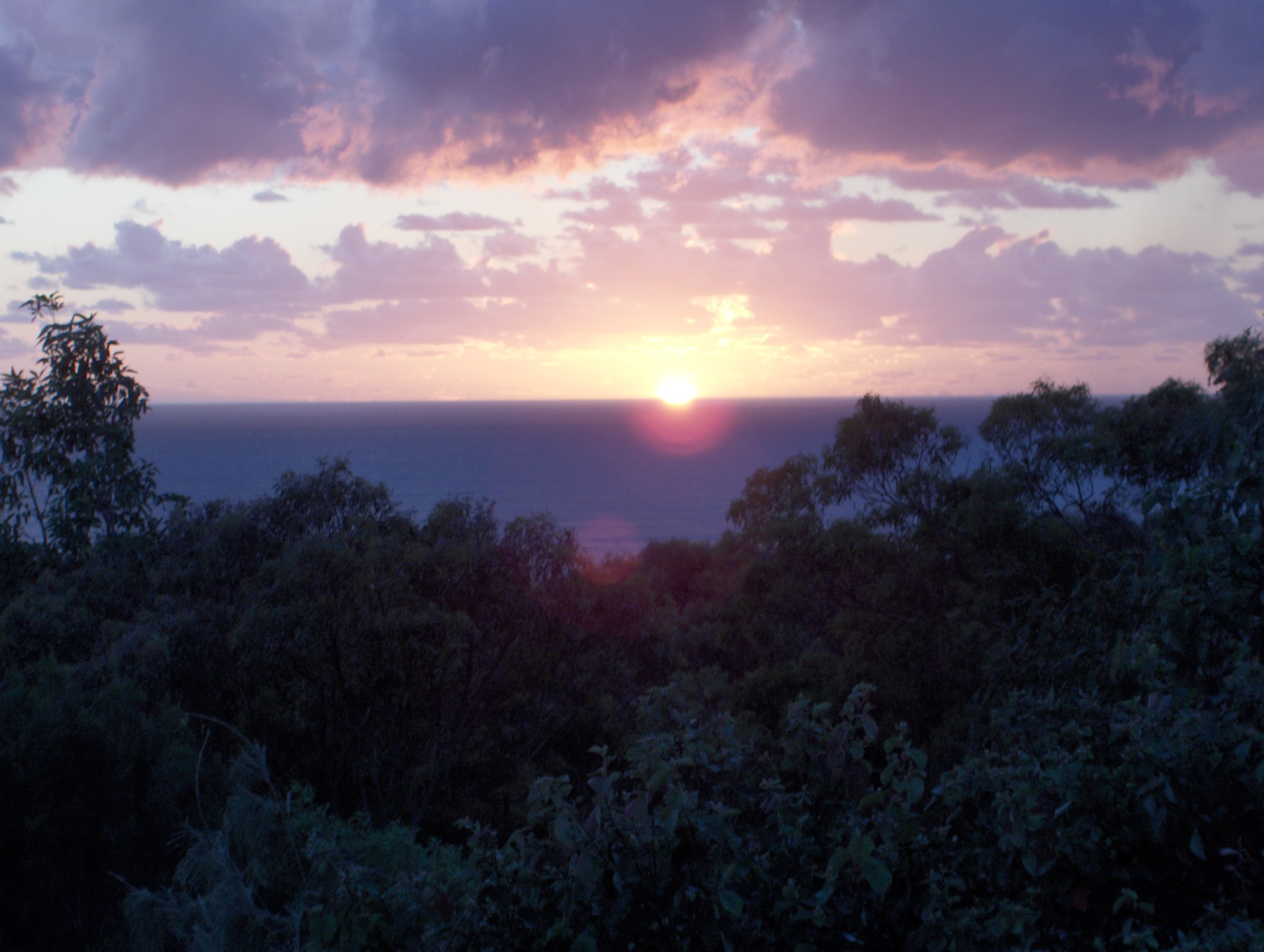
Do not forget to look up at the star studded milky way and spot the satellites. For the early birds, Dawn can bring spectacular sunrises over the Pacific Ocean.
Regular visitors to Orchid Beach are often content to make the most of what the northern area of Fraser Island has to offer. Go for a fresh water swim in Ocean Lake, a dip in Champagne Pools, large sand dunes and shallow gutters for the kids’ enjoyment at Waddy Point, a hike up Indian Head or spend time at Ngkala Rocks watching the 4WD enthusiasts take on the coffee rocks in an effort to be on their way to the pristine Sandy Cape.
A 16 kilometre drive from Orchid Beach to the western side of the Island takes you to Wathumba Creek and Platypus Bay. Well known for this area is its fishing, crabbing and spectacular sunsets. When touring from Orchid Beach it is most important to plan your day trips around the tide times and to allow time to enjoy the magic of Fraser Island.